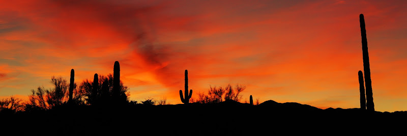
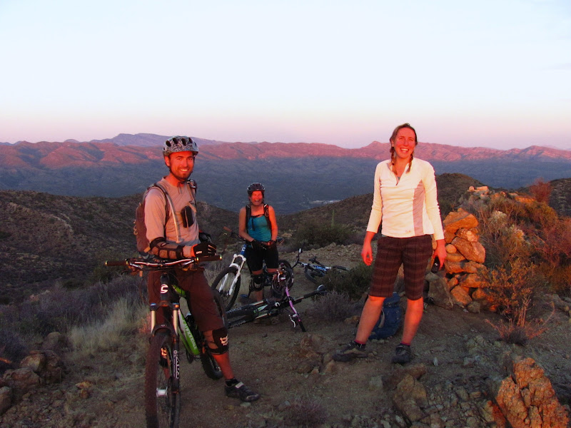
Had we used a GPS the above picture would have looked a lot different. For one, we would have found the trail head a lot earlier in the day, thus getting us on the trail a lot sooner. We also wouldn't have spent hours lost, while looking for the remote, nearly invisible trail path. Had we used a GPS we wouldn't have gotten to use our explorer instincts either. We wouldn't have had the sense of pride that we navigated through totally unknown country by map, using landmarks and our brains to find our way. We wouldn't have experienced the trepidation of the very real possibility that we might spend a cold winters night in the desert. More than all that, had we used a GPS, we wouldn't have been able to see one of the worlds great sunsets from the top of that mountain. Had we 'plugged in' we would have missed all of that. What a misfortune that would have been. The pink glow of the last of the setting sun on our faces was the
highlight of my winter! NOT using a GPS allowed this moment to happen.
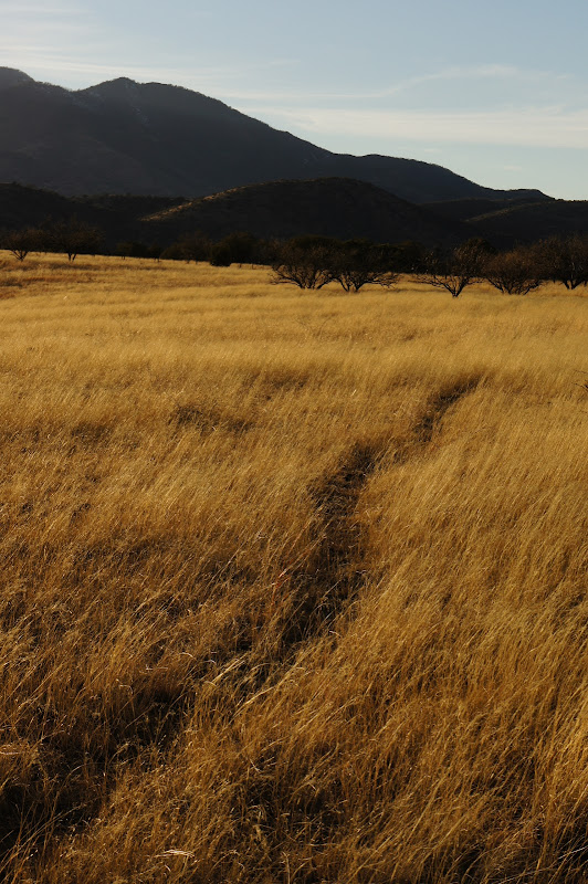
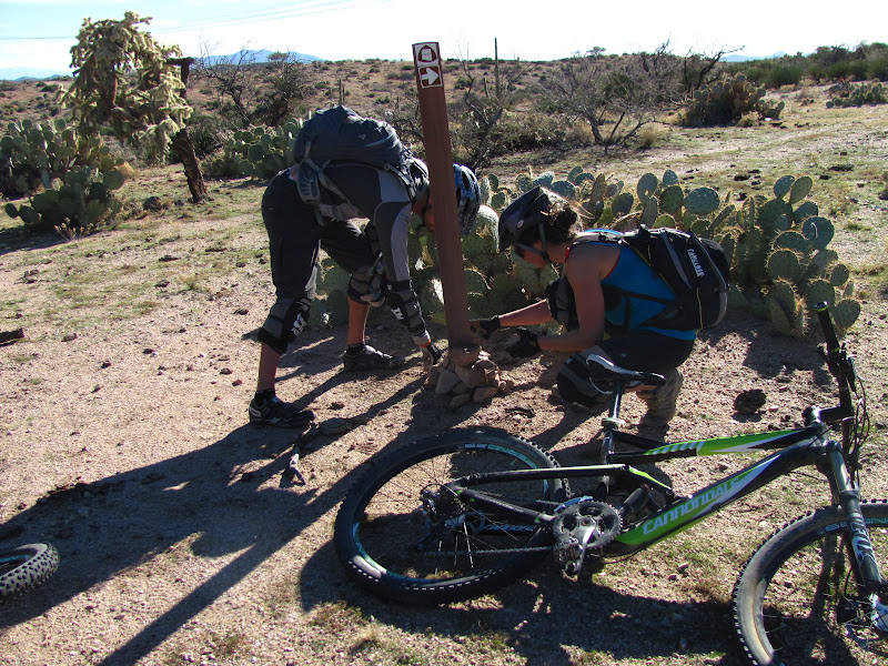
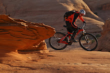
Sections of the Arizona Trail are really remote. It's hard to follow and very lightly used. The trail can disappear completely due to floods, or because animals and livestock have obliterated the trail and its signage, or simply because not enough feet and tires have used the trail surface to pound back the sparse vegetation. We did not head into the Arizona outback without a map. In fact, we donated money to become part of the Arizona Trail Association which came with an enormous amount of map and GPS information. We talked at length about using a GPS for this route, as it is strongly encouraged, but the group decided as a whole NOT to use the device. We wanted to see a big chunk of Arizona without the aid of knowing exactly where we were at all times. We were looking for a chance to use our skills as explorers, to use a compass, to have to start a fire and survive, if need be, out of our packs for the night.
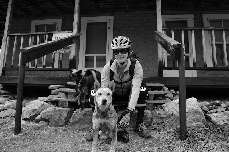
We were not remotely roughing it for this trip. Actually, quite the opposite. Like last years trip on the Black Canyon Trail, we would have our truck and camper to hop scotch us each day, meaning we'd arrive from a big day in the saddle to the comforts of a cooked meal, water, and for Mary and I, a nice soft bed. Eric and Nancy are back country mountain bike guides for most of the year so sleeping in a tent is pretty normal for them. Lyn's "day" job involves roaming canyons at night studying owls in some of the most remote places left on earth. I'm also pretty sure, since she is about the most humble person I've met, that she is probably one of the most bad ass rock climbers I've known. However, since I don't follow the rock climbing scene her fame was lost on me.
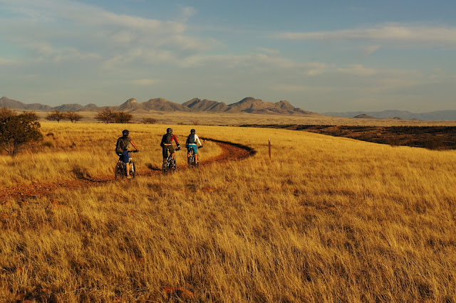
We started our journey near Superior Arizona, with the plan of heading south towards Mexico over the week to come. Our goal was to have fun, ride a lot, and to get to see some places we had never seen before. It was not to cover every inch of the trail or check big mileage off of some life list. If an epic day broke out, then we were stoked. If a days ride ended up only being a few hours long, that would be OK too.
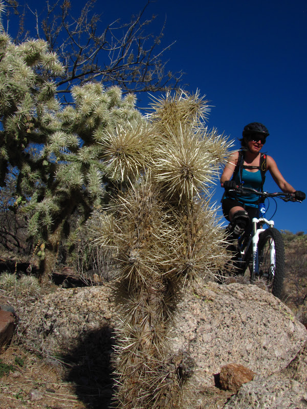
OUCH!!!
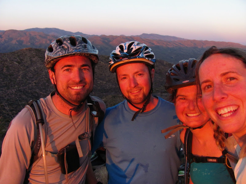
It seemed that every day ended like this. We would all watch the sun set from our own vantage points and then meet for camaraderie in the camper while we cooked good food. It doesn't get any better!
Maps can be pretty frustrating when they don't match what is actually on the ground. We found this to be true near Dudleyville Arizona. Finding the road that led to the trail head was getting pretty frustrating. Luckily, for the first time in history, a lady at a convenience store actually gave good directions. And it was the type of directions where you need to be looking for the "big tree, just past the stream crossing."
We got started that day about an hour and a half late. Our trail info called for a 27 mile day. We still had time to make it back to camp before dark as long as nothing went wrong.
Something wrong??? Things like missing trail signs, and live stock obliterating the track became all too normal. Every intersection had to be scrutinized to make sure we were still on track.
We were looking for what is known as "The Big Hill." It seemed this would be an obvious landmark and that it should be able to be seen from many miles away. However, it was proving to be elusive.
Finally, with the day rapidly winding down we caught our first glimpse of "The Big Hill." It was indeed big, and we still had to descend quite a few miles just to reach the base of it. And there was that little problem of the sun going down too!
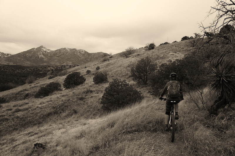
"The Big Hill" finally began. It was an interesting climb as we were just barely able to move faster then the earth was spinning, keeping us in the sunlight to the very top of the climb. The Big Hill, for all its menacing view from afar, was not really as bad as it looked. And anytime spent during the golden hour is pretty special when you are outside living life to its fullest.
The last of the day's light quickly climbed away from us. We snapped some quick pictures at the top, ate the last of our food, and put on our jackets for what was still an unknown distance back to camp. The upside of this situation was that from where we were standing, there couldn't possibly be any more climbing, as we were truly on top of the biggest mountain for miles around.
The descent would be one to remember! Endless switchbacks, and gnarly technical rock moves awaited us in the failing light.
All of a sudden it was truly dark. I had descended well ahead of the group and found my-self in a tight wash. I took this time to try to find my headlamp, which I hoped still had a good battery in it. I hadn't touched it in a year or more, and I didn't even know where in my pack that it was. I dumped out my entire pack fumbling for the light. When I found it I crossed my fingers and hit the switch. IT WORKED! The rest of the group caught up. Between the four of us only Nancy and I had headlamps. We positioned Eric behind me, and Lyn behind Nancy and we trudged on through the forests of cholla cactus and Saguaro. We knew Mary was going to be worried as we were now approaching almost two hours after dark. The descent was slow going with only two lights, and a hard to follow trail. Hunger was raging in all of us, but just like we thought at the top, there was very little climbing. And then, bam! we popped out on the road. We pedaled down to the truck and camper whooping like a bunch of kids. The dogs and Mary were greatly relieved, and as an extra sweet bonus Mary had fried potatoes and bratwurst's cooking on the stove. It was the perfect end to a long day.... Our 27 mile day had morphed into 35 with 7 hours of riding.